|
|||
|
|
|
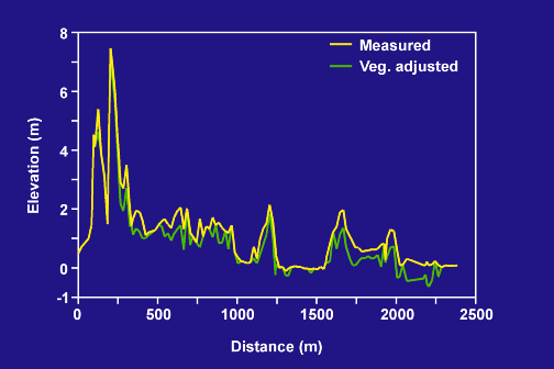
Elevation Profile, PA Transect |
 |
|
Elevation profiles along the PA transect. The yellow line represents actual lidar-derived elevations; the green line represents the elevation calculated by subtracting the measured height of dense vegetation from the lidar-derived elevation. The gulf shoreline is at the left end of the profile. |