|
|||
|
|
|
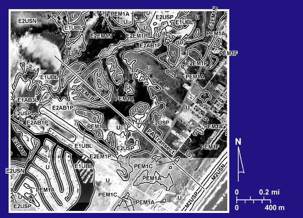
1992 NWI Units, PA Transect |
|
|
Aerial photomosaic of the PA transect showing habitats identified on the 1992 National Wetland Inventory (NWI) maps. The photomosaic was compiled from aerial photographs flown in 1995 and obtained from the Texas Natural Resource Information System (TNRIS). |