|
|||
|
|
|
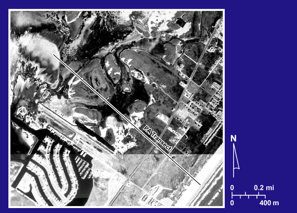
1995 Aerial Photograph, PA Transect |
|
|
Aerial photomosaic of the Port Aransas transect area. The photomosaic was compiled from aerial photographs flown in 1995 and obtained from the Texas Natural Resource Information System (TNRIS). |