|
|||
|
|
|
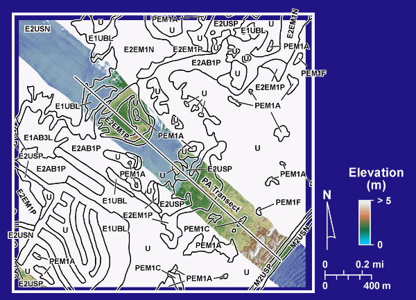
1992 NWI Units on Lidar DEM, PA Transect |
|
|
Digital elevation model (DEM) of the PA transect showing habitats identified on the 1992 NWI maps. The DEM was constructed from lidar data acquired along the transect in 2003. |